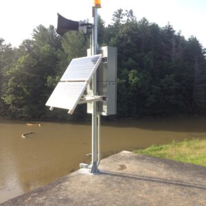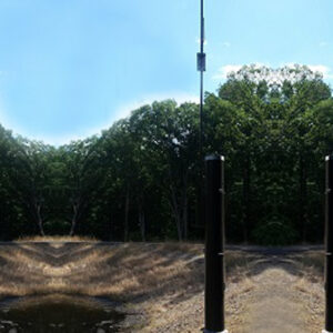
Water level, rain gauge, multi-weather, and camera options can be combined at a single site, with multiple units of the same type deployed for redundancy.
Sensor options include:
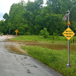
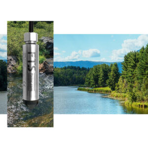
- Water level. Continuous monitoring of stream and road flood levels using submersible pressure transducers or radar technology, with high-resolution readings suited to complex hydrology.
- Rain gauge. Tipping-bucket gauges capture localized precipitation data at each site, essential for understanding rainfall distribution across a large network.
- Multi-weather. All-in-one sensor packages cover wind speed, wind direction, temperature, humidity, and barometric pressure, supporting a complete meteorological picture alongside flood data.
- Camera. Integrated camera option provides real-time visual confirmation of road and stream conditions, available remotely through AEM Elements® 360.
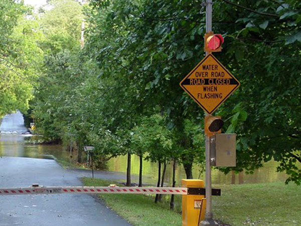
Warning infrastructure options include:
- Flashing beacons and signs. Activate automatically when water levels reach defined thresholds, alerting approaching motorists to conditions ahead.
- Barrier gates. Physically block the roadway at the point of danger. Remotely triggerable from AEM Elements 360 and designed to continue operating during connectivity interruptions.
All warning stations can be remotely triggered or overridden from AEM Elements 360, giving emergency managers direct control over road closure status without deploying personnel. Two-way communications ensure that gate position and beacon status are always confirmed back to the software.
ALERT2 network ready
ALERT2 protocol is the standard for large hydrologic monitoring and flood warning networks. ALERT2 enables scalable, interference-resistant data transmission and integrates with compatible stations, software, and agency infrastructure.